
Prices in AUD. Shipping worldwide. Flat rate $8 postage per order within Australia. International by weight calculated at checkout. Read full terms.
-
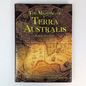
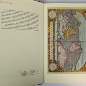
The Mapping of Terra Australis
AU$60.00 Read MoreAdd to cartRobert Clancy
Sydney: Universal Press, 1995.A guide to early printed maps of Australia, Antarctica and the South Pacific. A standard reference for collectors.
-
Early Charts of New Zealand, 1542-1851
AU$600.00 Read MoreAdd to cartPeter Bromley Maling
Wellington: A. H. & A. W. Reed, 1969.Maps detailing New Zealand from 1542 to 1851. Limited to 500 numbered copies, of which this is number 238.
-
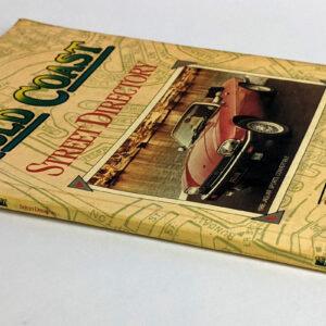
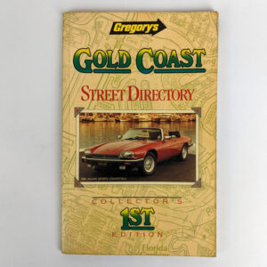
Gregory’s Street Directory, Gold Coast
AU$80.00 Read MoreAdd to cartGregory’s Publishing Company
Brisbane: Gregory’s Publishing Company, 1988.Collector’s First Edition.
-
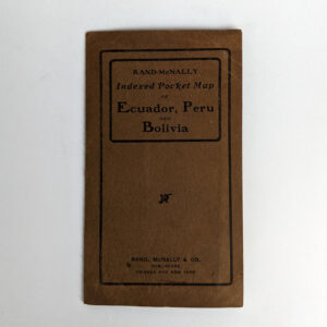
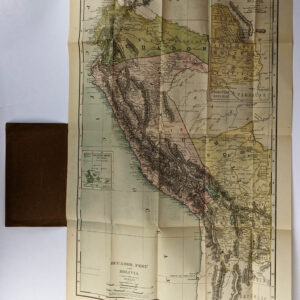
Rand-McNally Indexed Pocket Map of Ecuador, Peru and Bolivia
AU$200.00 Read MoreAdd to cartRand McNally
Chicago: Rand, McNally & Co., 1910.Scale: 175km: 1 inch. Includes the Galapagos Islands. Full map of Bolivia is inset. Indexes cover Provinces or Departments, Islands, Lakes, Mountains, Rivers, and Towns.
-
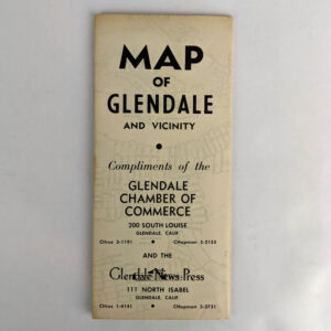
Map of Glendale and Vicinity
AU$110.00 Read MoreAdd to cartGlendale Chamber of Commerce and the Glendale News Press
Glendale: Glendale Chamber of Commerce and the Glendale News Press, No date.Circa 1954. Includes a brief history of Glendale.
-
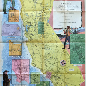
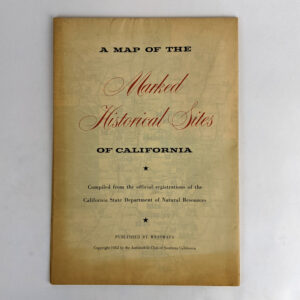
A Map of the Marked Historical Sites of California
AU$110.00 Read MoreAdd to cartPhil Townsend Hanna; William Webb, Lowell Butler
California: Westways with The Automobile Club of Southern California, 1952.Compiled from the Official Registrations of the California State Department of Natural Resources. With notes on each site. A coloured map of the whole state with smaller maps of sites in San Francisco Bay, San Francisco, Monterey, Los Angeles and Vicinity, San Diego, and Mother Lode. Westways Vol. 44, No. 12.
-
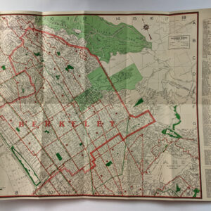
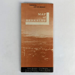
Map of Berkeley
AU$85.00 Read MoreAdd to cartCity of Berkeley
Berkeley: City of Berkeley, No date.Map of Berkeley, Albany, and Vicinity. Includes photographs of notable locations.
-
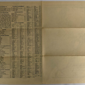
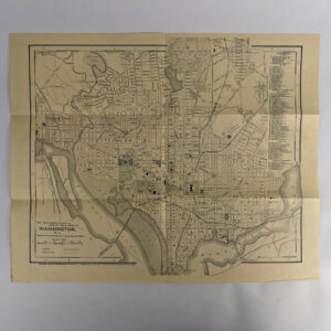
The Matthews-Northrup Up-to-date Map of Washington D. C.
AU$120.00 Read MoreAdd to cartThe Matthews-Northrup Co.
Buffalo and New York: The Matthews-Northrup Co., 1895.Index printed on verso.
-
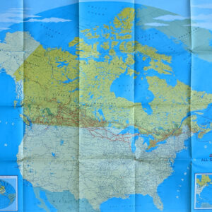
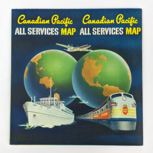
Canadian Pacific All Services Map
AU$100.00 Read MoreAdd to cartCanadian Pacific
Toronto: Rolph Clark Stone, 1957.Large folding colour map showing the steamship, rail, and air services of Canadian Pacific. The large map shows North America, with insets showing Trans-Atlantic Steamship routes, and International Airline routes to Hong Kong, Tokyo, Sydney, Auckland, Mexico City, Lima, and Buenos Aires.The verso promotes the amenities of their services.
-
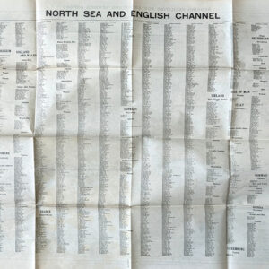
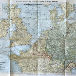
Rand McNally War Map of the North Sea and English Channel
AU$50.00 Read MoreAdd to cartRand McNally & Co.
Chicago and New York: Rand McNally & Co., No date.Showing the Geographical Relations of all the Principal Ports of Great Britain, France, Belgium, the Netherlands, Denmark, Norway, Sweden and Germany. Published Especially for The Farmer’s Loan and Trust Company, New York. Rand McNally would produce these maps as promotional items for business, banks, insurance brokers, etc.
-
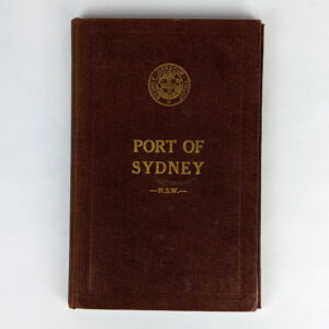
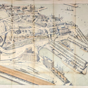
Official Handbook: The Port of Sydney, N.S.W.
AU$850.00 Read MoreAdd to cartThe Sydney Harbour Trust Commissioners
Sydney: The Sydney Harbour Trust Commissioners, 1919. -
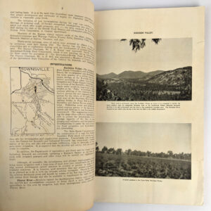
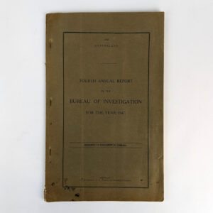
Fourth Annual Report of the Bureau of Investigation Under The Land and Water Resources Development Acts, 1943 to 1946 (for the Year 1947)
AU$80.00 Read MoreAdd to cartJ. R. Kemp
Brisbane: A. H. Tucker, Government Printer, 1948.Results of surveys and investigations of land and water resources in Queensland. Illustrated throughout with photographs and maps.
-
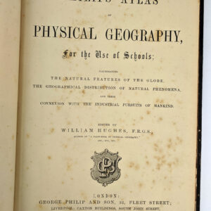
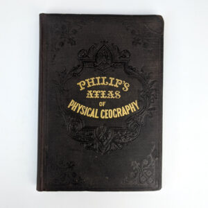
Philips’ Atlas of Physical Geography, for the Use of Schools;
AU$200.00 Read MoreAdd to cartWilliam Hughes
London: George Philip and Son, No date.19th century school atlas: Illustrating the Natural Features of the Globe, the Geographical Distribution of Natural Phenomena, and their Connexion with the Industrial Pursuits of Mankind.
-
Early Sketches and Charts of Banks Peninsula, 1770-1850
AU$550.00 Read MoreAdd to cartPeter Bromley Maling
Wellington: A. H. & A. W. Reed, 1981.Pre-1850, though mostly 1838-50 sketches and maps of Banks Peninsula, on the east coast of the South Island of New Zealand, by French and British visitors to the region. Limited edition of 500 copies, of which this is number 388.
-
Pearls and Pearling Life
AU$135.00 Read MoreAdd to cartEdwin W. Streeter
Perth: Hesperian Press, 2006.Early Western Australian pearling. First published in 1886.