
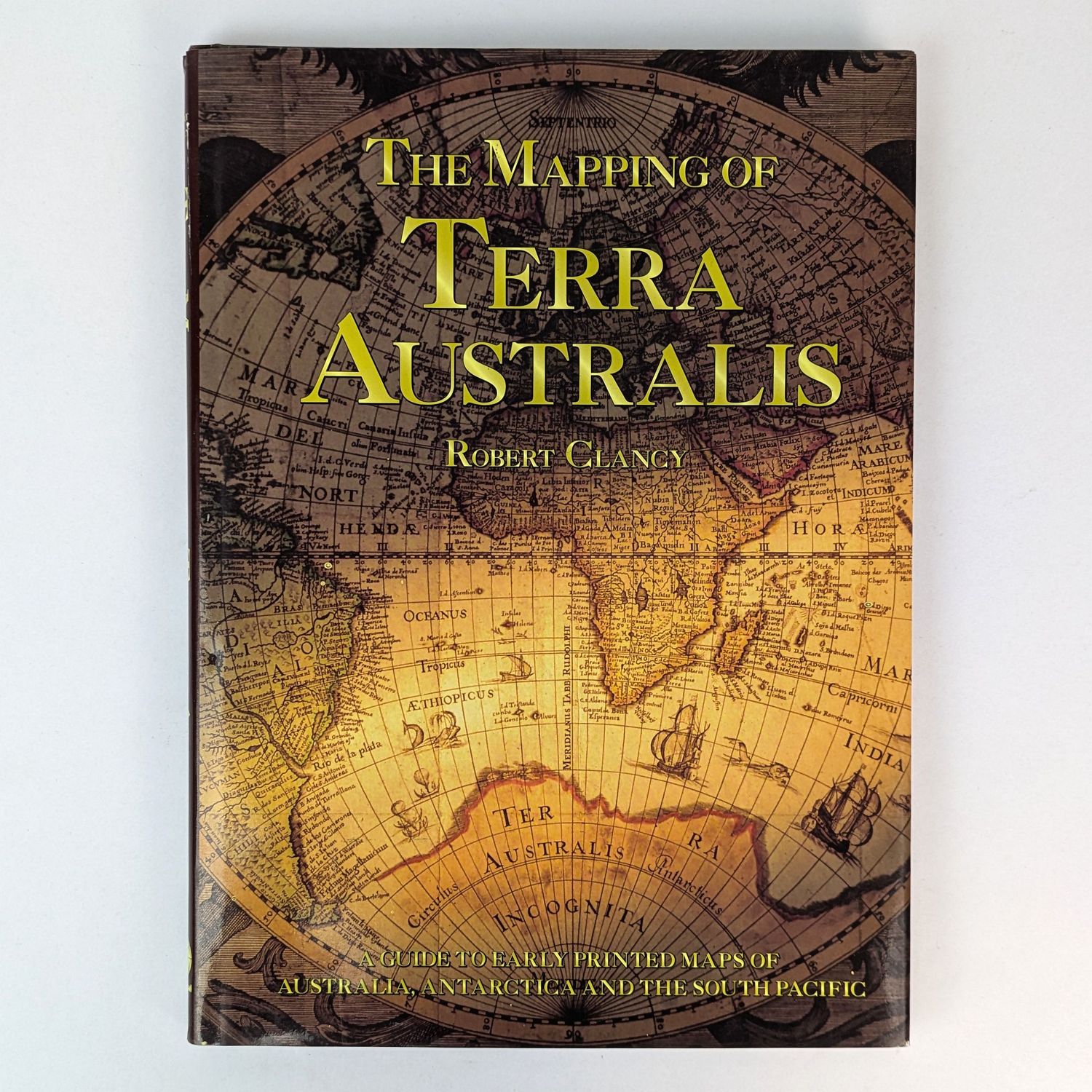
The Mapping of Terra Australis
.
31cm x 22cm. 192 pages, colour illustrations. Illustrated glossy papered boards, illustrated jacket.
A guide to early printed maps of Australia, Antarctica and the South Pacific. A standard reference for collectors.
Minor foxing to top edge. Minor soiling and very minor insect damage to front endpaper. Very minor shelf wear to jacket. Very Good Condition.
AU$60.00
1 in stock